Life on Land
UNCCD Publishes Outcomes of 3rd Scientific Conference
Life on Land
A side event organized by the Scientific and Technical Advisory Panel of the Global Environment Facility (GEF/STAP) during the fourth special session of the Committee on Science and Technology (CST S-4) of the UN Convention to Combat Desertification (UNCCD) considered 'The use of satellite data to measure and monitor land degradation over time at multiple scales.'
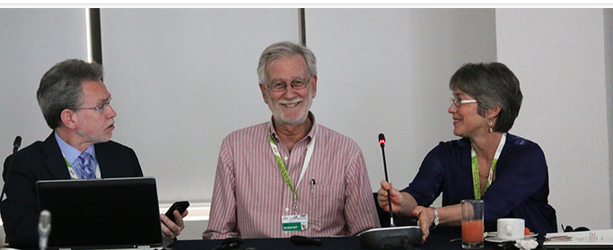 10 March 2015: A side event organized by the Scientific and Technical Advisory Panel of the Global Environment Facility (GEF/STAP) during the fourth special session of the Committee on Science and Technology (CST S-4) of the UN Convention to Combat Desertification (UNCCD) considered ‘The use of satellite data to measure and monitor land degradation over time at multiple scales.’
CST S-4 convened in Cancun, Mexico, from 9-12 March 2015.
Participants at the side event were informed of a new GEF project that will seek to provide guidance, methods and tools to monitor and assess land degradation using remote sensing, and they were encouraged to address the needs of users of remote sensing. Speakers noted challenges in harmonizing and interpreting data from different remote sensing products and how the data could be used to develop policy advice, among other topics.
Presenters included representatives from Conservation International, the National Aeronautic and Space Agency (NASA), the European Space Agency (ESA) and the European Joint Research Centre. [UNCCD Summary of 10 March events][IISD RS Summary of CST S-4 and UNCCD 3rd Scientific Conference][GEF STAP website]